
For engineers and construction review
Findings pinned on the map and the plan.
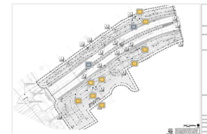
Work on the satellite map, your PDF plan sheets, or both. A photo taken on the map is pinned by its GPS coordinates. With your plan sheets imported as a PDF, a photo taken on the plan is pinned where you place it on the sheet. It's also pinned by its GPS location on the satellite map automatically.
When the satellite image is updated, your pins show at their GPS locations on the new image automatically. On a site under construction, the plan shows what the satellite image cannot.
Wingwall forms and rebar set.
Pinned where you took it
What you'll use it for.
Construction observation reports
Findings pinned on the map or plan sheet, grouped by severity, ready before you leave the site.
Detention ponds and stormwater controls
Photograph the same spots visit after visit, each pinned where you stood.
Roadway and structures
Observation, Address, Flagged or Not Per Spec, on the map or plan sheet where you found it.
Final walks and punch lists
Each site walk is its own visit, through to the final walk.
From the field.
Vegetation blocking the opening. Clear it.
Pavement and base layers exposed at the cut.
Detectable warning panel in place.
Real site photos. The findings written under them are examples.
The report, laid out your way.
Choose the site map, the plan or both, and split the figures by severity when one gets crowded. Arrange the flags yourself before the report is built.
Pro adds the editable Word report.
Your next site walk can end with a completed report.
Standard $25 a month. Pro $35 a month, starting with a 14-day free trial.